Something for mountain lovers: The cycling trail on top of the „Blauen“
Before you reach “Badenweiler”, after 11 kilometers of our tour, turn right and be prepared. The beginning of the climb on the mountain “Blauen” could be lung function test, since it has ascents of 10%. In average you have an ascent of 8% on this 8 km long way until you reached the peak of the mountain. The very last part of the trail up the mountain, from the “Blauenhaus” on, is less exhausting. Whoever thinks that cycling is not there to be heavily breathing though can also not take the junction towards the peak and drive on almost even streets. If you decide to take the challenge of driving the 3 km long ascent on top of the “Blauen” (1165m) you will not regret it. You will have an amazing panorama view up there.
Continue driving towards the village „Marzell“. After 23,5 km of our trail you will reach “Egerten” and after 25,8 km, at the specialists hospitals in the upper valley of “Kandern”, you have the opportunity of shortening the trip, turn right and drive down into the valley of “Kandern” and end up in “Kandern” very shortly.
For the main route you have to turn left and ascent for another kilometer until you reach the “Lipple Paß”(km 26,8). Here you can refresh yourself at fountain. Now you will drive downhill on narrow and curvy streets, so be careful. At the height of the community “Wies”(km 30,5) you can let go of your breaks. Now you leave the big street to the right and cycle up towards “Sallneck”. At 34,5 km of our tour you will pass the guest- house “Hirschen” where you can take a bite to eat. Then you continue driving towards “Kandern” A little but steep ascent brings you on top of the mountain saddle and then you can drive along the villages “Lehnacker”, “Kirchhausen” and “Edenburg” and enjoy the amazing view. Now you can drive down until you reach the “Scheideck” and after the red “Rain” you continue driving downhill towards “Kandern”
The landscape on this trail is beautiful, but the life of the people living here used to be very hard and poor. An example is one of the stations of this tour, the village of “Kirchhausen”. Before World War I the residents of the farm “Schneiderhof” had saved money for a renovation of their farm, but during the inflation all the money was lost. Today monument conservators say this was lucky, because nothing has changed very much in the last 300 years. The farm is still the same, even the head of the ox that carried the wood, the house was built of and who was butchered for the inauguration ceremony, still hangs under the roof of the house. Between May and November you visit a behind-the-scenes-tour on Wednesday and Saturday between 3 and 5 pm or Sunday between 1 and 5 pm.
Autorentipp
Einkehr MöglichkeitenStartpunkt der Tour
KandernEndpunkt der Tour
KandernDie Inhalte werden von den Veranstaltern, Städten und Kommunen vor Ort sorgfältig selbst gepflegt. Kurzfristige Terminänderungen, -verschiebungen oder eine fehlerhafte Übermittlung können wir nicht ausschließen. Wir empfehlen deshalb vor dem Besuch die Informationen beim Anbieter selbst einzuholen. Für die inhaltliche Richtigkeit von Dritten können wir keine Gewähr bieten. Zudem können wir keinen Anspruch auf Vollständigkeit garantieren.
Wanderweg
Auf dem südlichen Teil des Westweges - von Kandern nach Rötteln

Themenweg
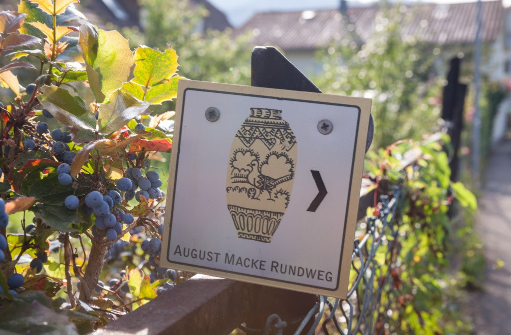
August Macke Rundweg

Wanderweg
Interregio-Wanderweg Etappe 3: Kandern – Steinen
Fernwanderweg
Westweg-Etappe 12 (West): Kandern - Basel
Radtour
Kultur und Religion - Markgräfler Kirchen und Ihre Besonderheiten
Themenweg
August Macke Rundweg
Radtour
Rhein-Rad-Tour
Radtour